Ordnance Survey Explorer OL6 Map The English Lakes South Western Area
Ordnance Survey Explorer OL6 Map The English Lakes South Western Area
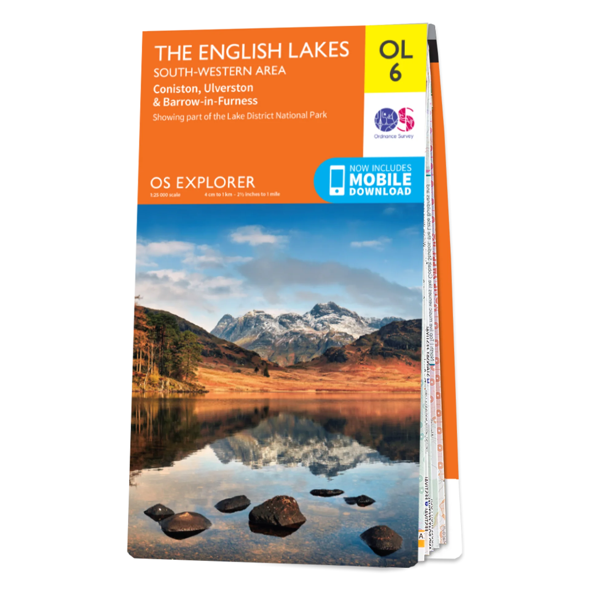
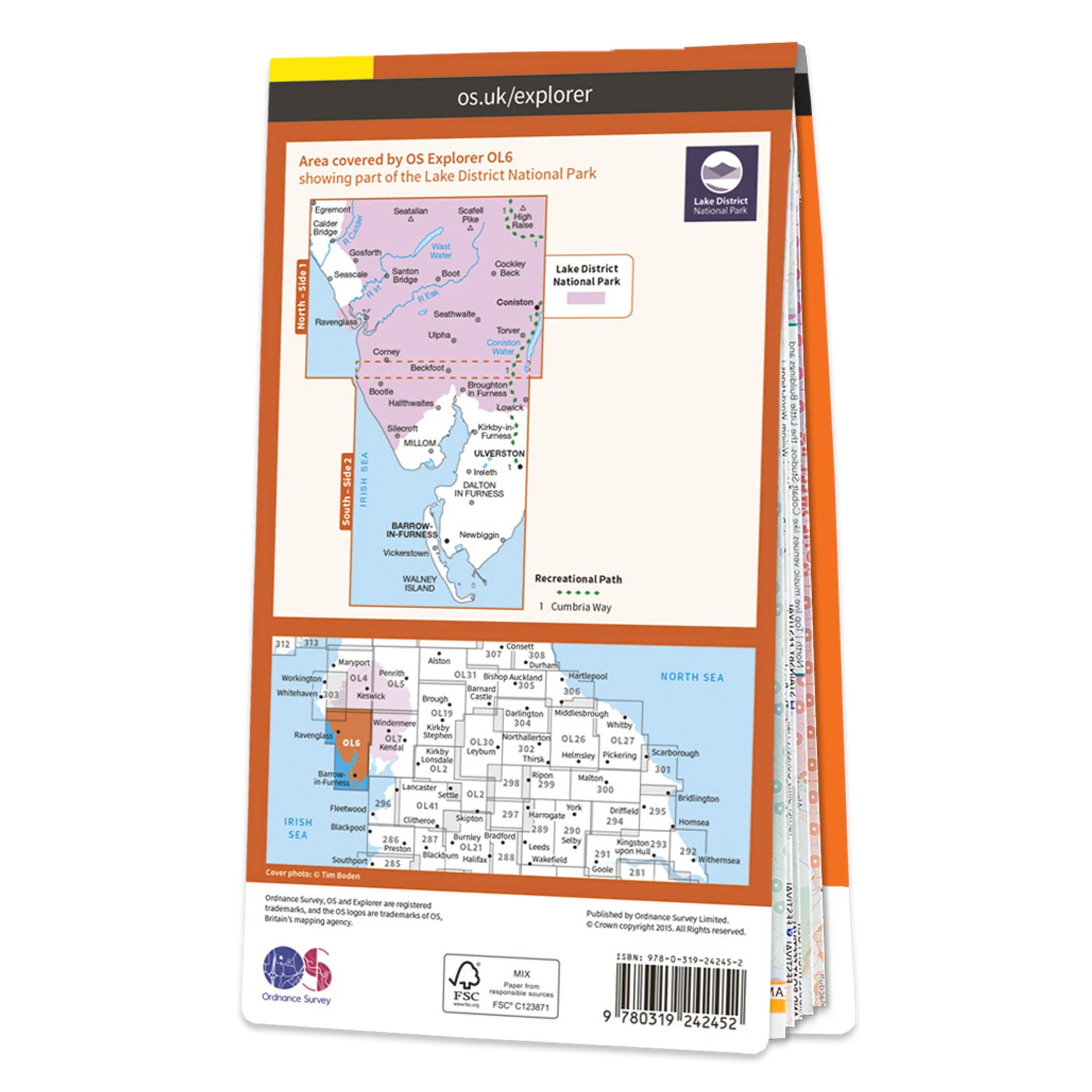
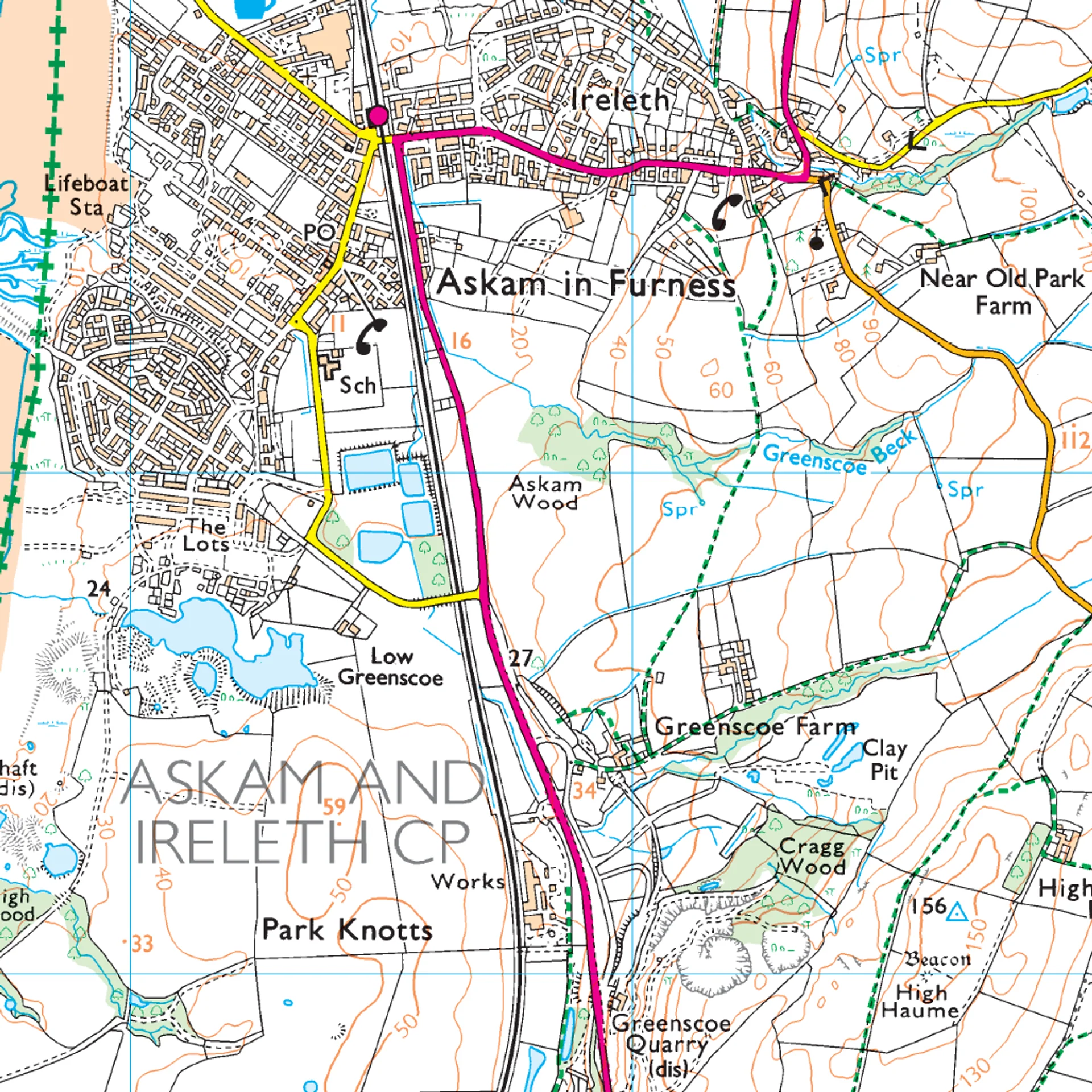
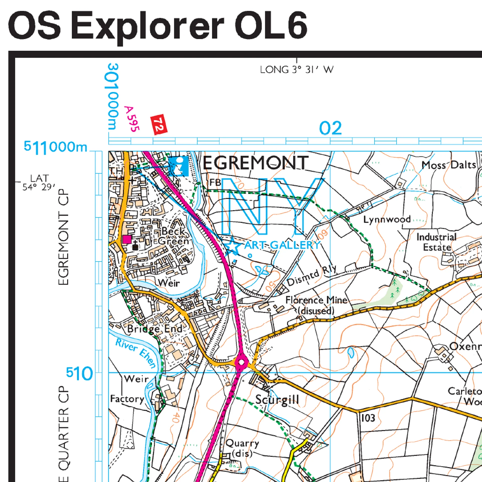
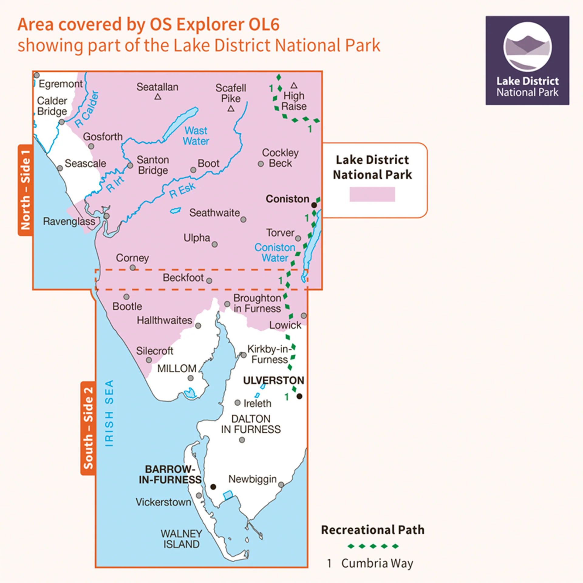
This Ordnance Survey Explorer OL6 Map is ideal for walkers, climbers, horse riding, and off-road cycling with its detailed paper folded map. Whether you're exploring, The English Lakes, South Western area, Coniston, Ulverston & Barrow-in-Furness, you'll have all the information you need at your fingertips. Rights of way, fences, permissive paths and bridleways are clearly shown, ensuring you have the best information to get the most out of your time in the countryside. Perfect for outdoor enthusiasts.
This map now comes with a digital version which you can download to your smartphone or tablet.
The OS OL6 Explorer map of The English Lakes, South-Western Area, Coniston, Ulverston & Barrow-in-Furness
Featuring:
- Cumbria Way (Guide Book) Cistercian Way
- Cumbria Coastal Way Barrow-in-Furness
- Lake District National Park Cumbria
- 1:25 000 scale (4 cm to 1 km – 2.5 inches to 1 mile)
Original: $13.46
-65%$13.46
$4.71More Images
Ordnance Survey Explorer OL6 Map The English Lakes South Western Area
Ordnance Survey Explorer OL6 Map The English Lakes South Western Area
This Ordnance Survey Explorer OL6 Map is ideal for walkers, climbers, horse riding, and off-road cycling with its detailed paper folded map. Whether you're exploring, The English Lakes, South Western area, Coniston, Ulverston & Barrow-in-Furness, you'll have all the information you need at your fingertips. Rights of way, fences, permissive paths and bridleways are clearly shown, ensuring you have the best information to get the most out of your time in the countryside. Perfect for outdoor enthusiasts.
This map now comes with a digital version which you can download to your smartphone or tablet.
The OS OL6 Explorer map of The English Lakes, South-Western Area, Coniston, Ulverston & Barrow-in-Furness
Featuring:
- Cumbria Way (Guide Book) Cistercian Way
- Cumbria Coastal Way Barrow-in-Furness
- Lake District National Park Cumbria
- 1:25 000 scale (4 cm to 1 km – 2.5 inches to 1 mile)
Product Information
Product Information
Shipping & Returns
Shipping & Returns
Description
Ordnance Survey Explorer OL6 Map The English Lakes South Western Area
This Ordnance Survey Explorer OL6 Map is ideal for walkers, climbers, horse riding, and off-road cycling with its detailed paper folded map. Whether you're exploring, The English Lakes, South Western area, Coniston, Ulverston & Barrow-in-Furness, you'll have all the information you need at your fingertips. Rights of way, fences, permissive paths and bridleways are clearly shown, ensuring you have the best information to get the most out of your time in the countryside. Perfect for outdoor enthusiasts.
This map now comes with a digital version which you can download to your smartphone or tablet.
The OS OL6 Explorer map of The English Lakes, South-Western Area, Coniston, Ulverston & Barrow-in-Furness
Featuring:
- Cumbria Way (Guide Book) Cistercian Way
- Cumbria Coastal Way Barrow-in-Furness
- Lake District National Park Cumbria
- 1:25 000 scale (4 cm to 1 km – 2.5 inches to 1 mile)